 | WALKING SOUTH FROM SEAHOUSES
towards Beadnell perhaps.
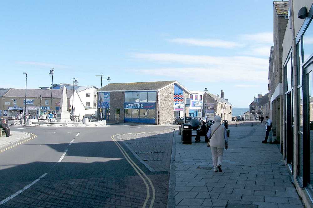
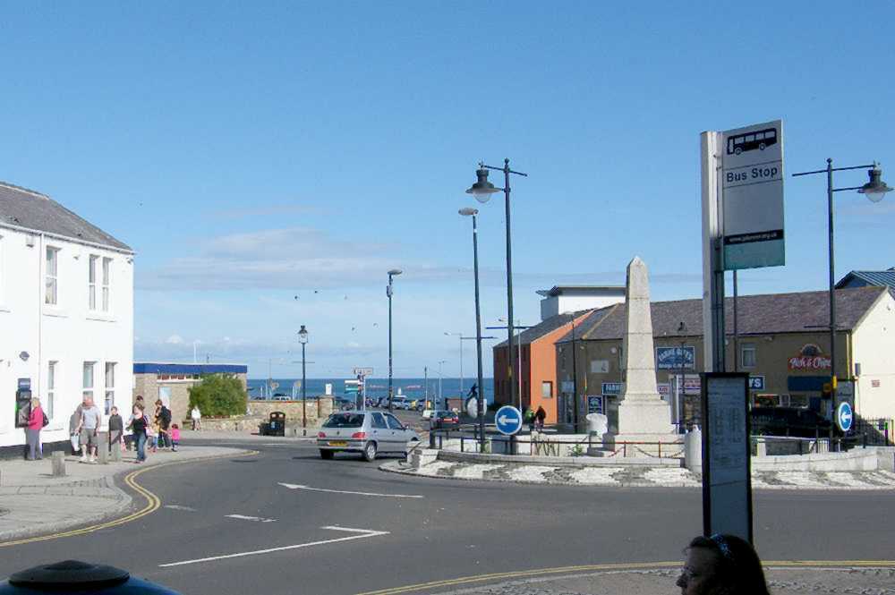
From the roundabout, bus stop and shops at the sea-end of Main Street the easiest way to join the Northumberland Coast Path is to make a bee-line for the water, passing the "The Olde Ship" Inn on your right. |  |
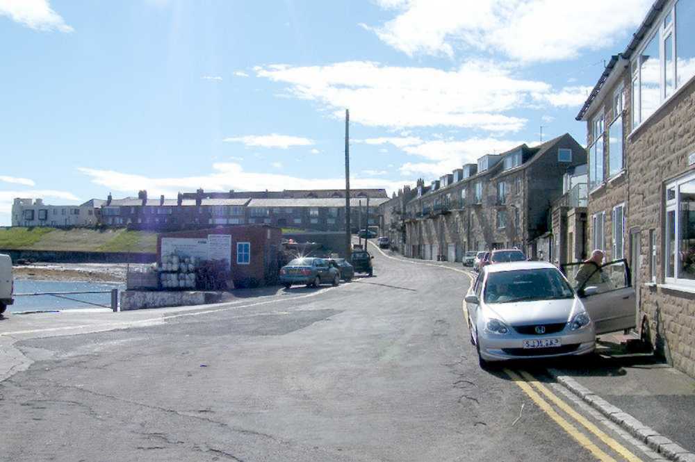 | Just past "The Olde Ship" there is a choice of steps or a slope taking you down to the harbourside road. Turn right and follow the road between the housing on your right and the fishermen's stores on your left. At the far end the road swings leftward around the walled grassy bank.
There may be an alternative rocky beach route, but it is complicated by tides! | 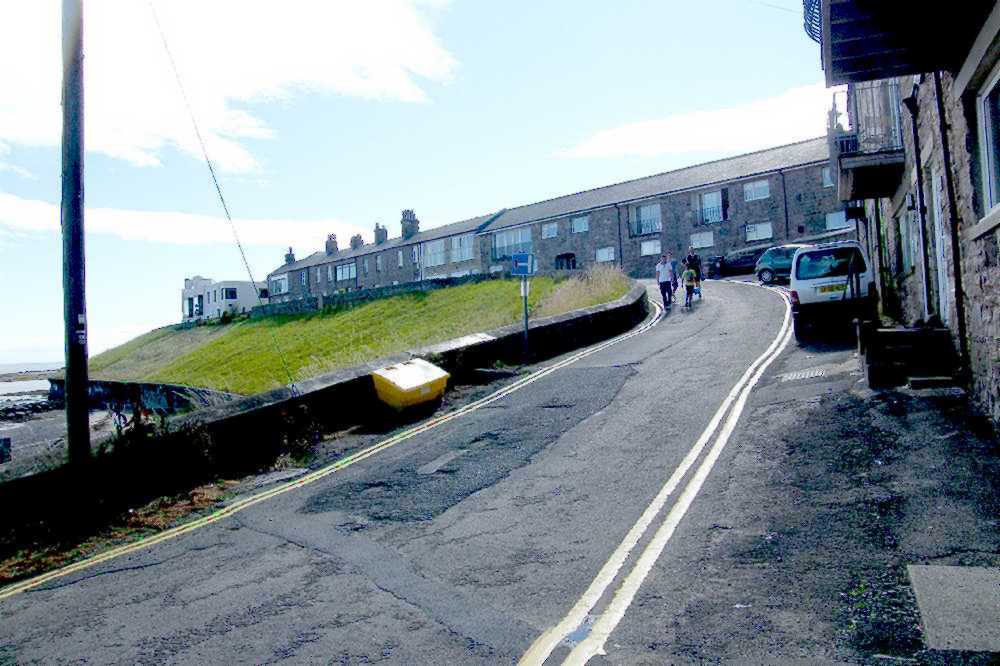 |
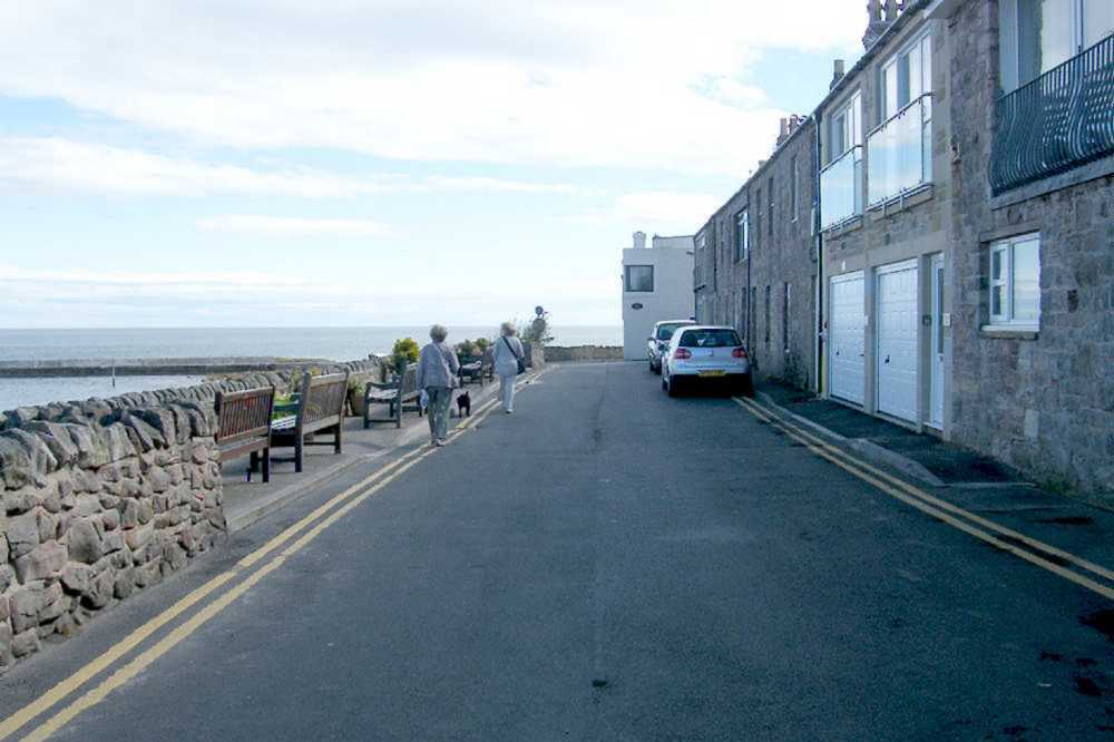 | When following the wall round to the left you are in Crewe Street, named for the major local land estates derived from Lord Crewe, one-time Bishop of Durham. Ignoring a no-entry sign of course, the route swings rightward on the final stretch of tarmac. After perhaps admiring the boats on the buoys below, carry straight on regardless. | 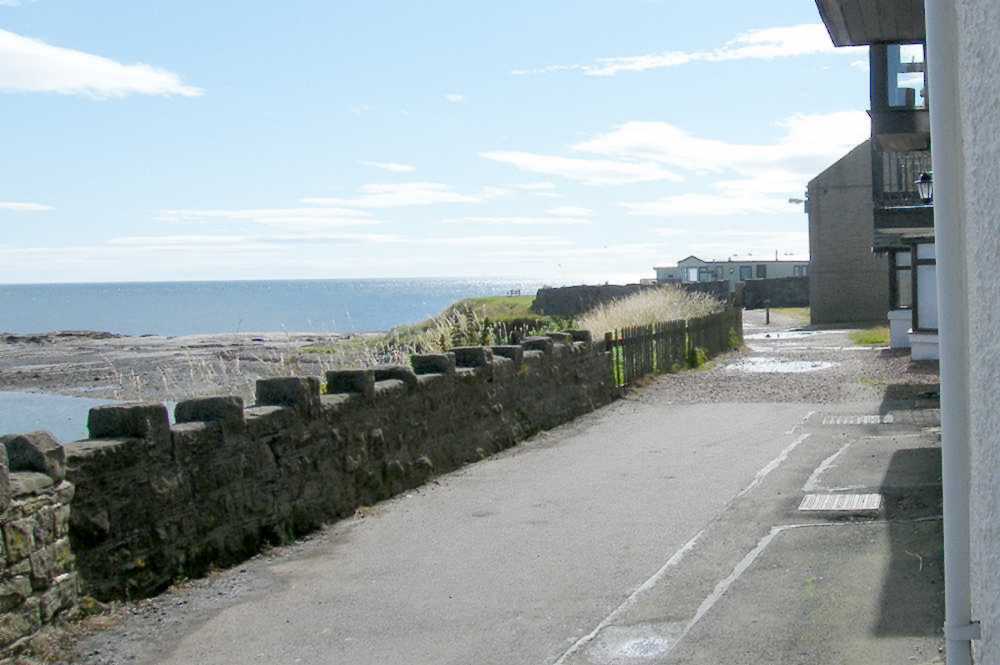 |
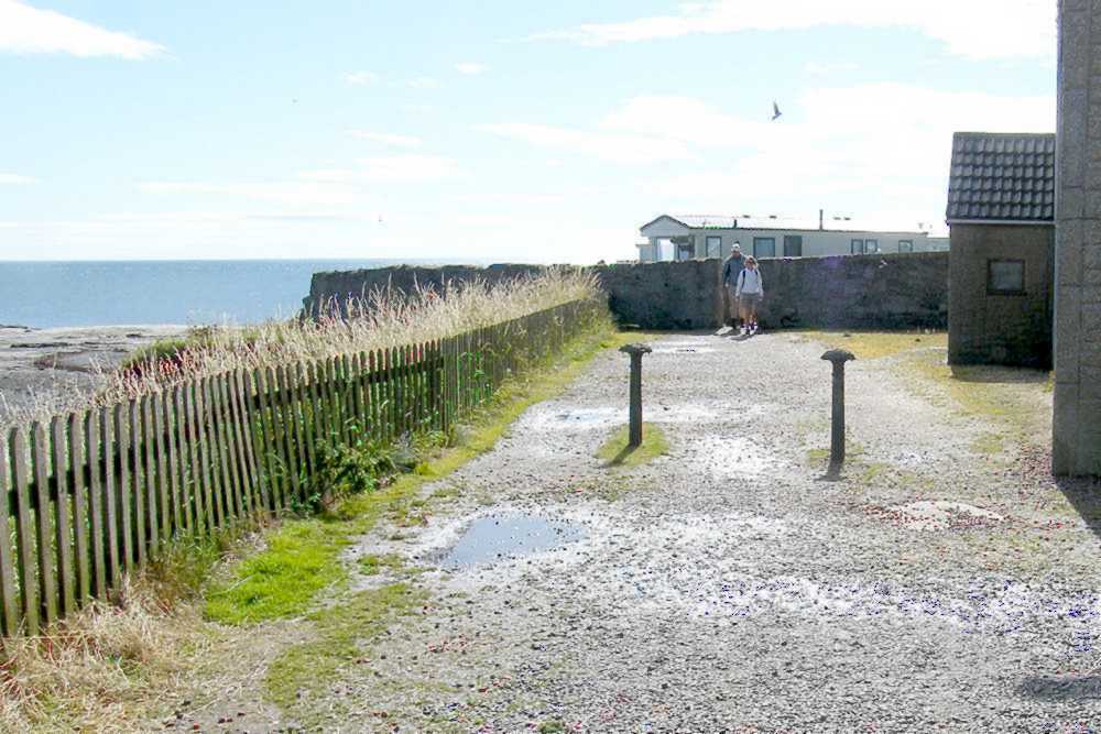 | The boundary of Seahouses village proper is reached in passing through the gap in the ancient wall. It is signposted as being part of the official Northumberland Coast Path - which is itself an element of the Europe-wide network of coastal and other long-distance footpaths. | 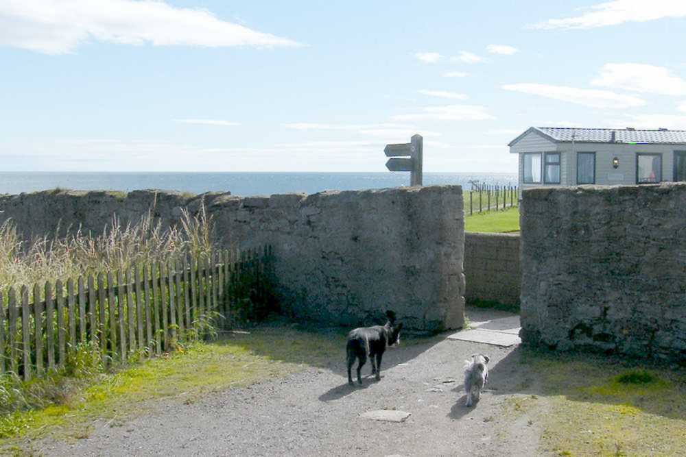 |
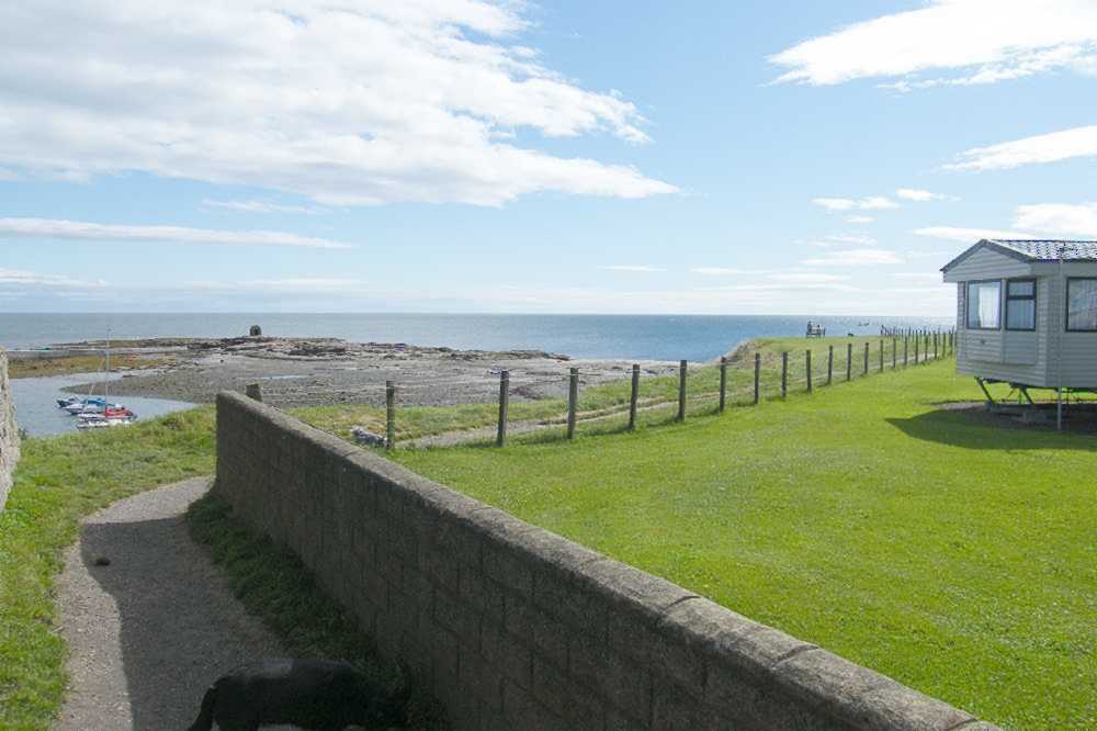 | The mobile home park is on private land, but the proprietors kindly maintain the grassy promenade which provides not only the footpath southwards but also the principal access point to sections of the foreshore including "Pace Hill" with its listed building one-time explosive store, out there on the rocks well away from human habitation. | 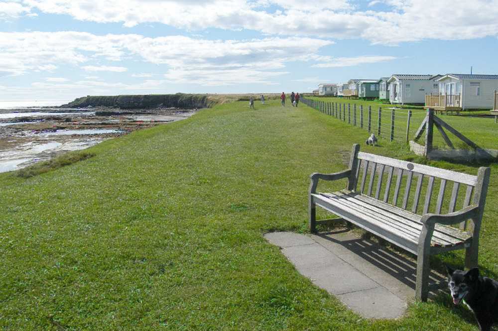 |
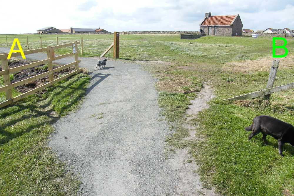 | At the end of the mown grass area the southward route continues along A, diverted and reconstructed in 2012 as the Chris Craven Path. (Green B provides a pedestrian - possibly a mobility scooter - way back to King Street, convenient when a modest circular route may be appropriate.) A few yards further on, red B is where to leave the main Coast Path to access the foreshore below. | 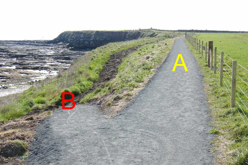 |
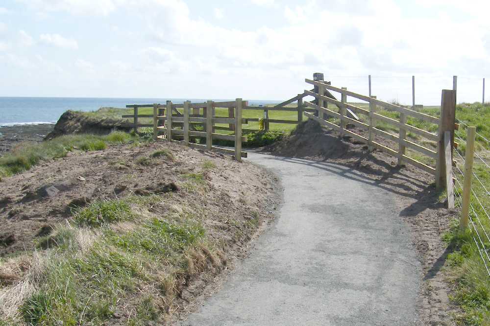 | Having safely reached the edge of Seahouses Golf Course you are at NU 2260 3176 on the OS map. In spring and early summer the breeding colonies of kittiwakes are much in evidence on adjacent cliffs. Public access routes across the golf course have the benefit of way-marker posts, but care with timing is still required, particularly in crossing the main fairways. | 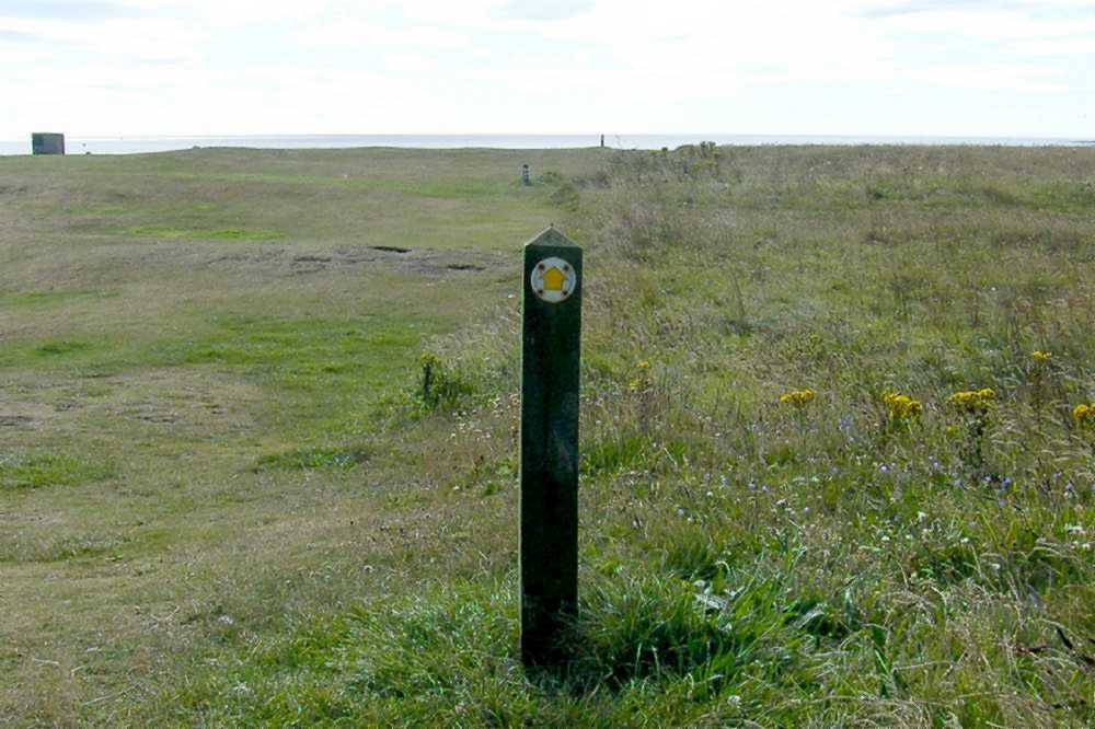 |
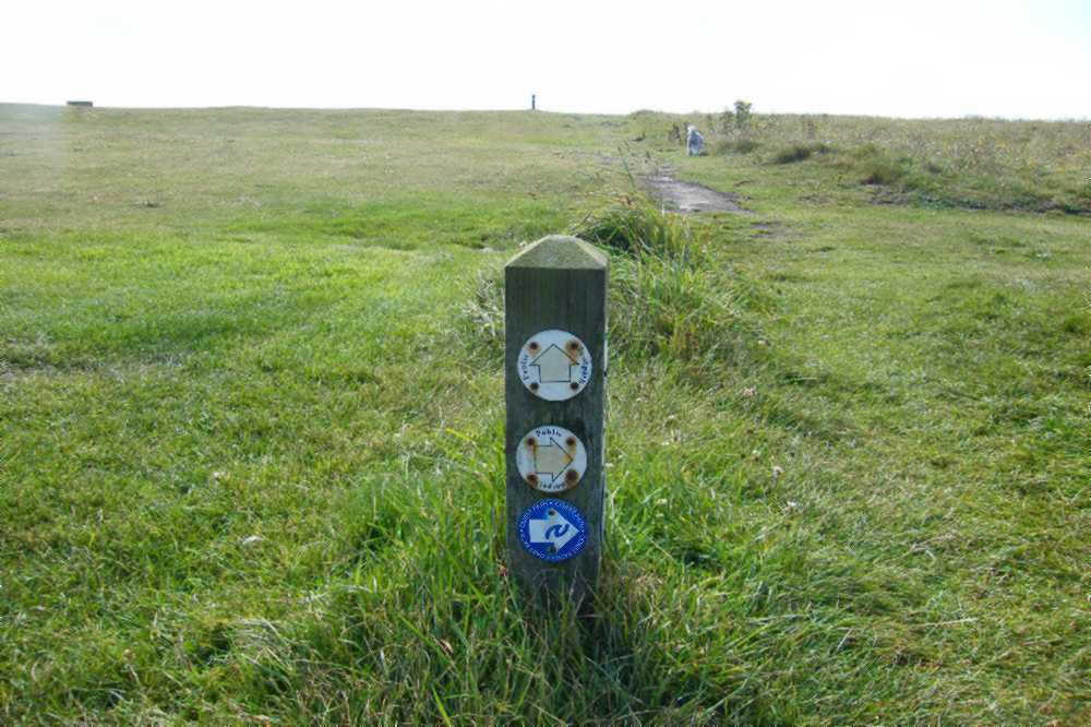 | Signs on one such post provide an alternative: turn right for the official Northumberland Coast route (via King Street, illustrated below) or straight on, across the top of the golf course to gain a first view of Annstead Bay. That's Beadnell village in the distance, possibly with the ruins of Dunstanburgh Castle visible above its roofs. | 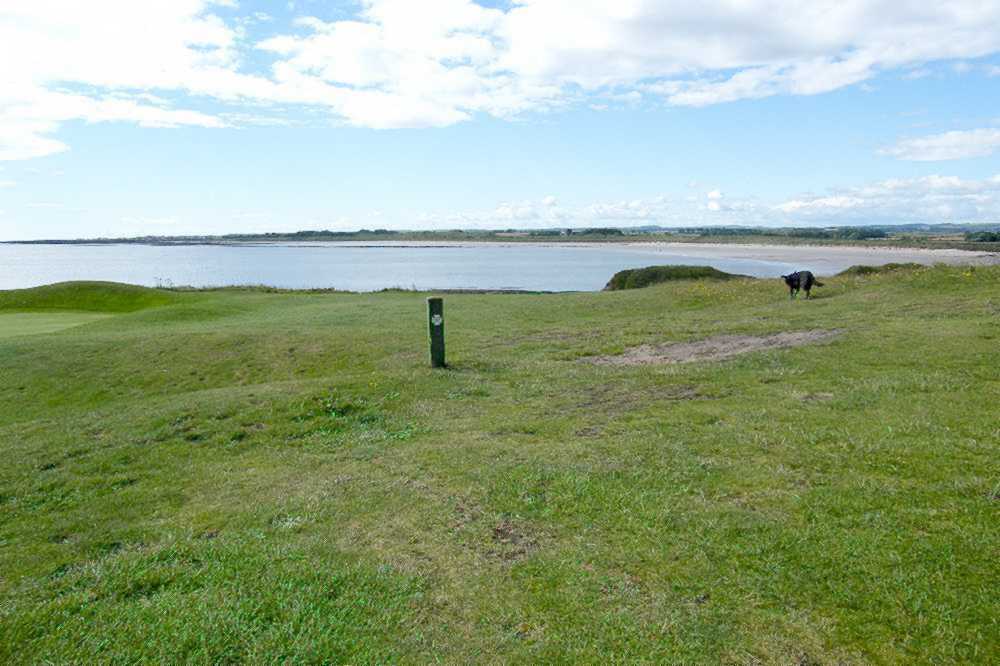 |
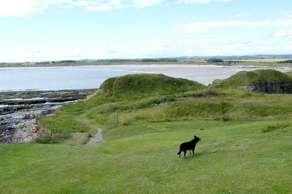 | Then comes a descent, approaching the shoreline but swinging right to continue on the inland side of a final mound. The route to follow is shown by the red arrow: it emerges onto relatively smooth limestone rocks. An earlier upper route has become dangerous due to continued winter erosion and has been fenced off. | 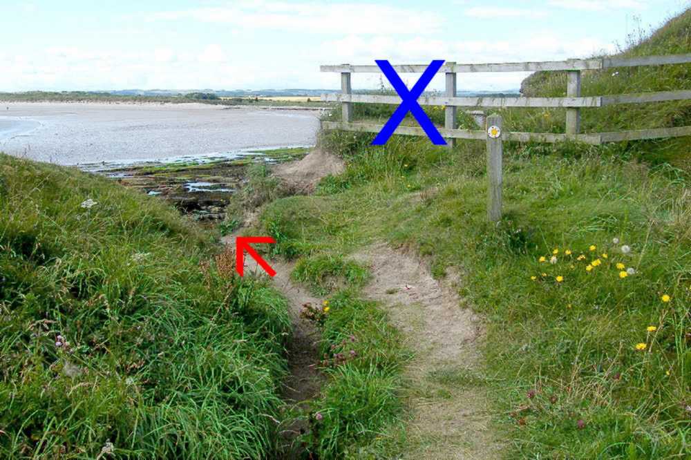 |
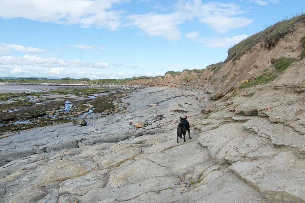 | This section provides a first contact with the fascinating variety of rock types and features as described in the "Seahouses Rocks" page of this website - something to explore later. Keeping to the smoother rocks, avoid any showing signs of greening or seaweed: they will be slippery even in dry weather. Then it's a case of planning the easiest route to get across the mixed foreshore towards the south-going sands. | 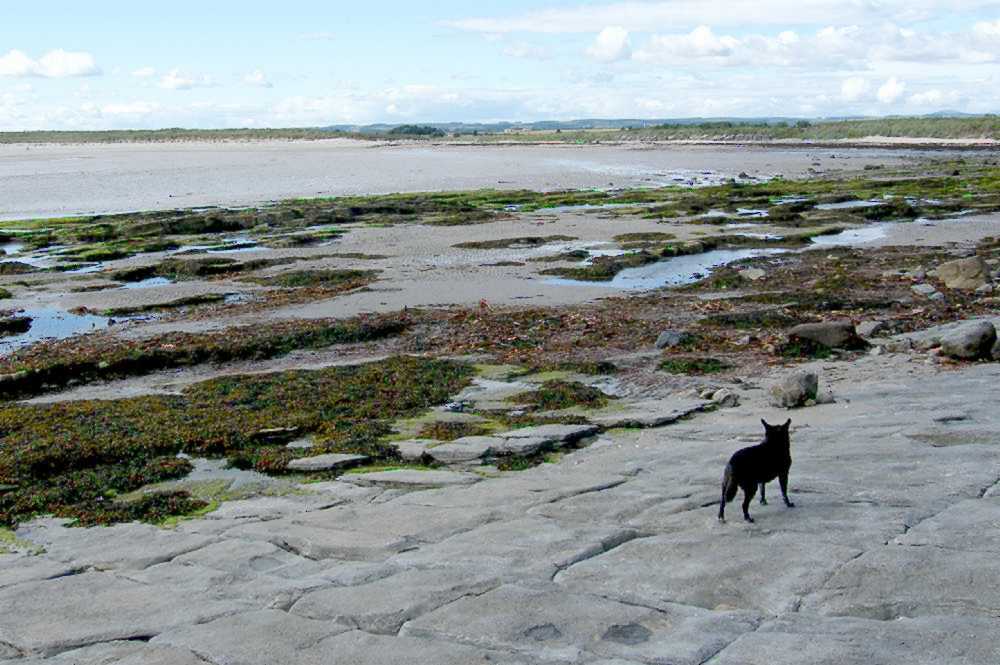 |
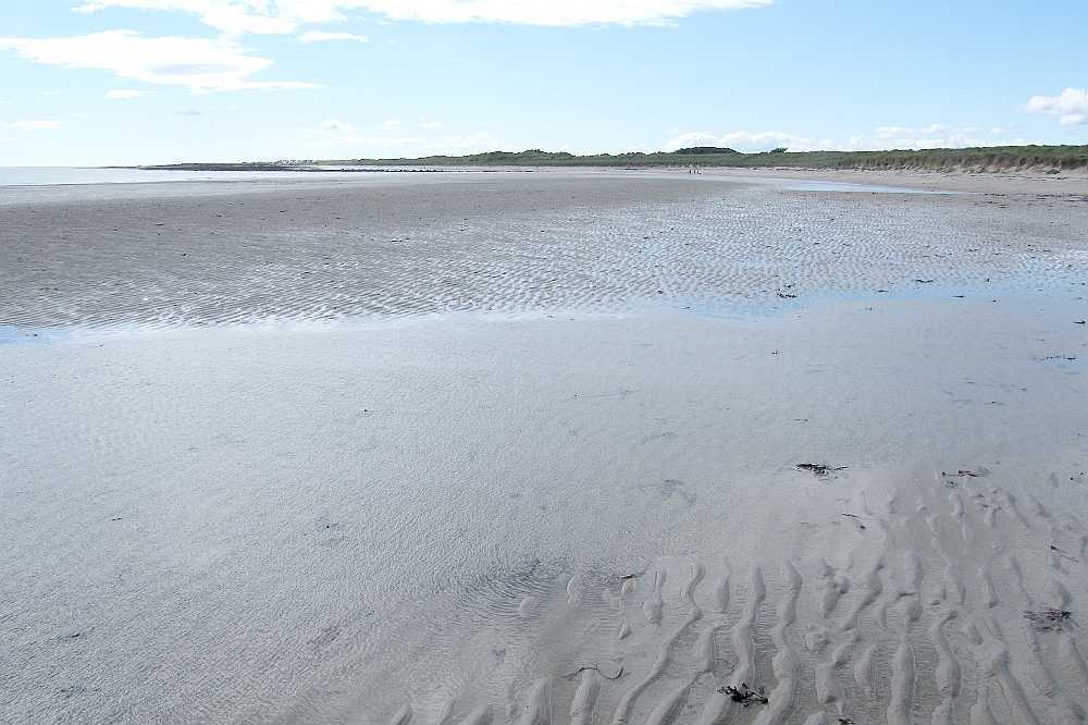 | There may be a final obstacle in the form of the Annstead Burn (or stream). In summer it's easily jumpable or so shallow as to be scarcely noticeable. But in winter it can necessitate a diversion along its northern shore to reach the road bridge before returning along the southern shore path. Then it's straight on down the sands to Beadnell. | 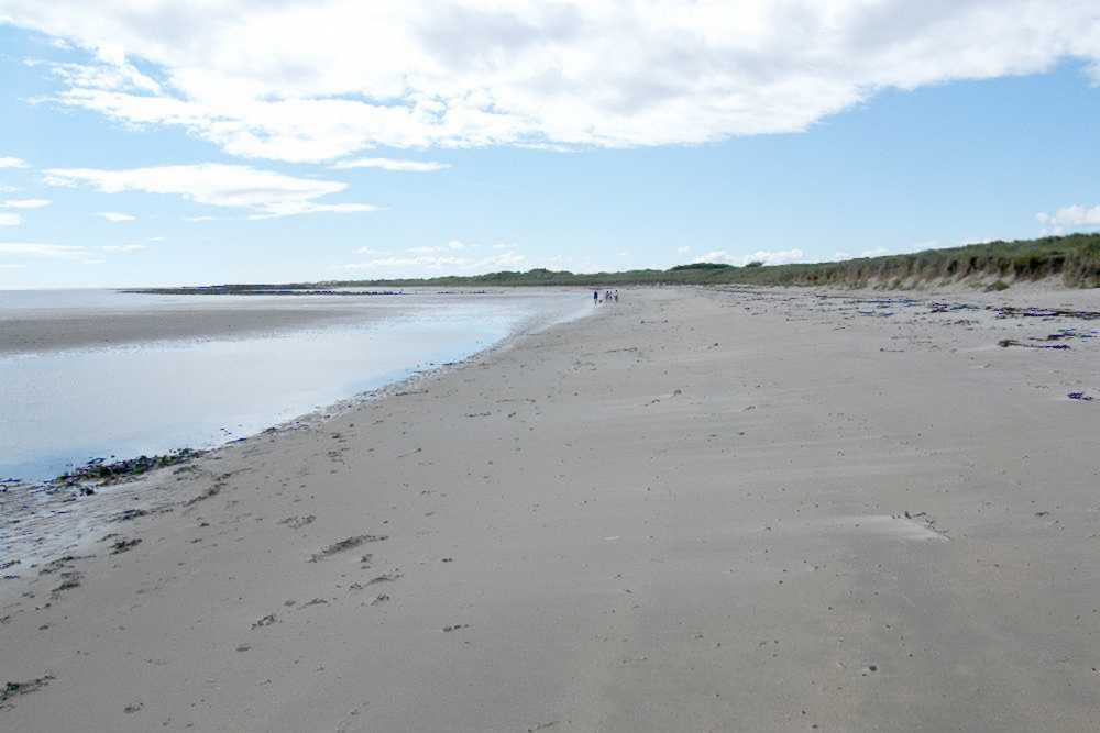 |
 | If you did opt for the right turn at the junction guide-post you will have been able to follow a wide pathway through the 'rough'. It takes you down towards the greenkeepers' buildings and stores, affording attractive views - you did choose a clear day, I trust - views across some Northumberland farmland to the distant Cheviots, known as "Hills" but topographically qualifying as "mountains". | 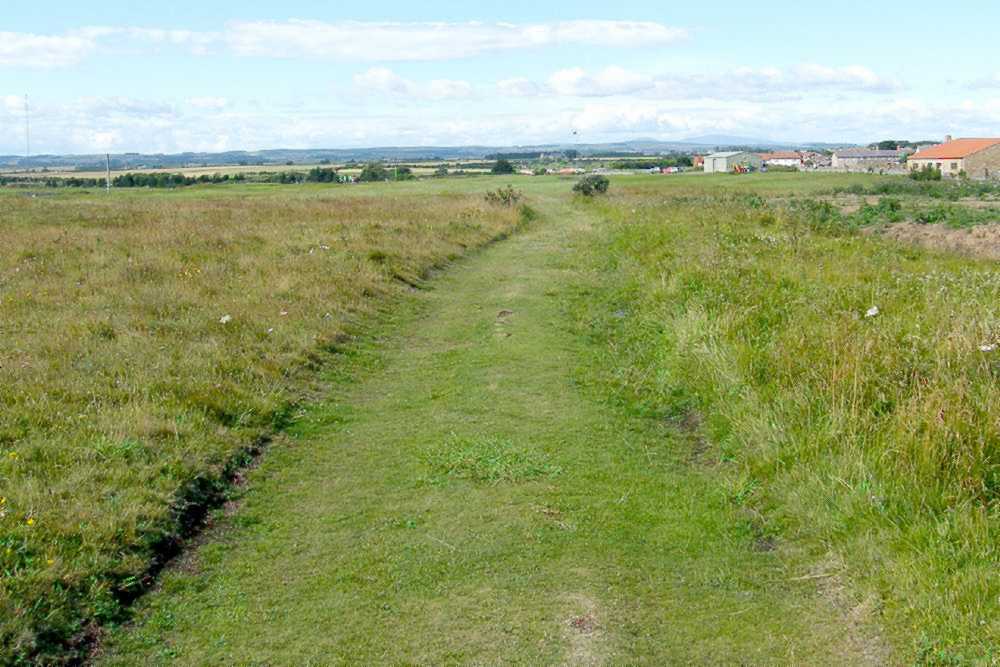 |
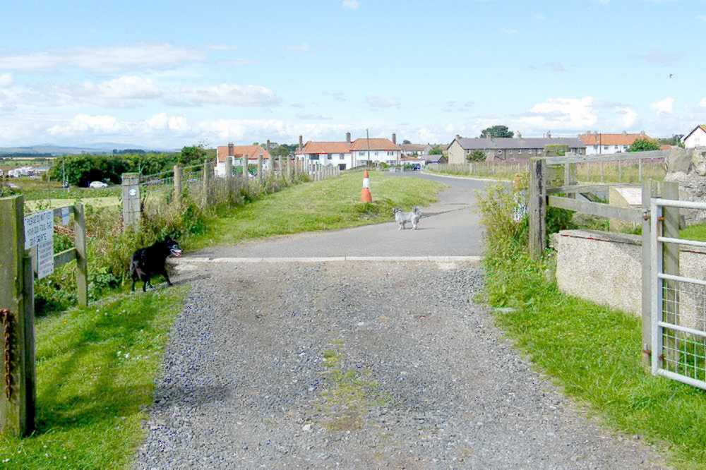 | Civilisation and tarmac are regained, first on the cul-de-sac serving the golf course and Northumberland Water. Their gates may be locked at weekends but pedestrian access is unimpaired. The official Northumberland Coast Path then continues south on the side of the B1340 for a while. | 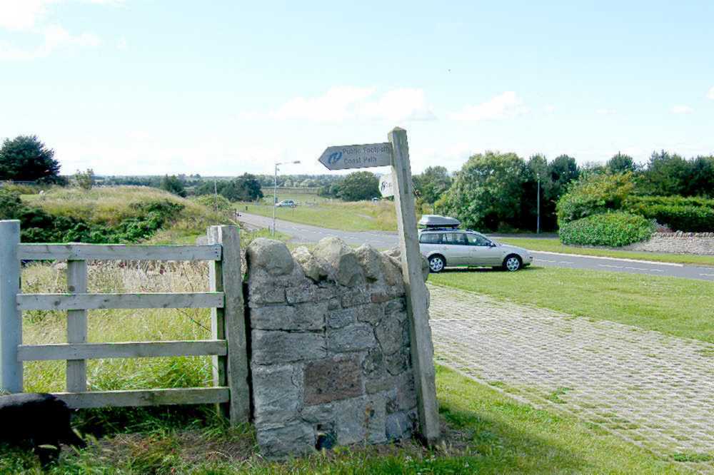 |
 | WALKING TO SEAHOUSES
FROM THE SOUTH
Beadnell perhaps.
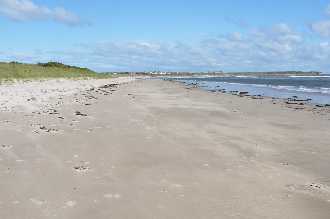
You'll have been walking up the sands with modest dunes on your left. Those dunes give way to Seahouses golf course at a point where the Annstead Burn (or stream) flows over the sands to complete its journey to the sea. | 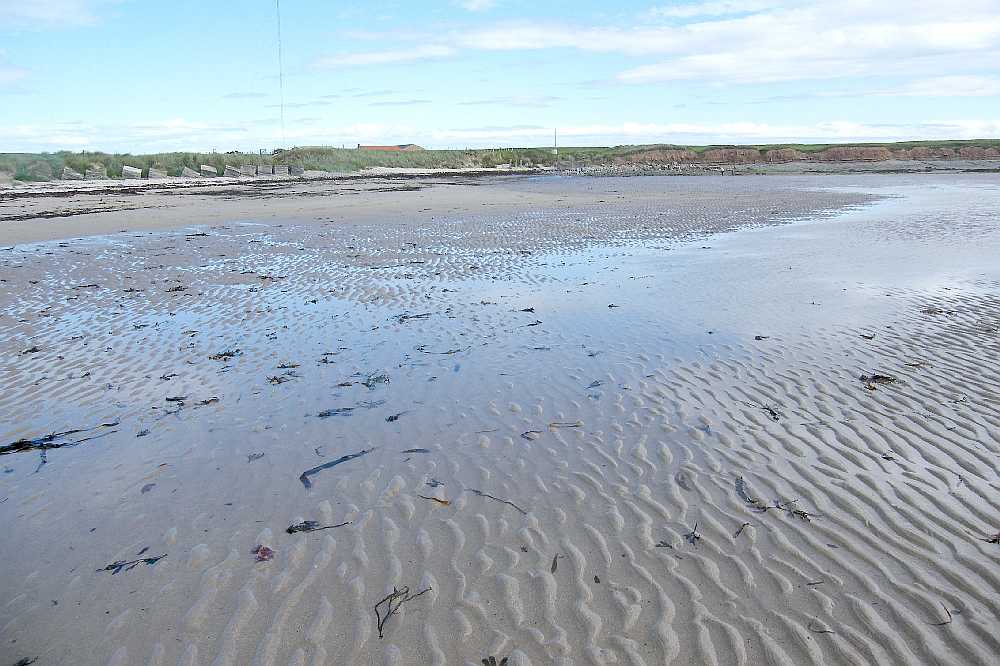 |
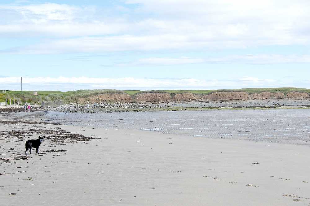 | In summer the burn is shallow enough (in places at least) to ignore, or it might be jumped. In winter waterlogged soils inland produce a greater flow: it may be necessary to follow the burn leftward to cross at the road bridge before returning to the northward route. Head for the rocks with soil and grass on top, making a mental note of the 'knob' on the end. | 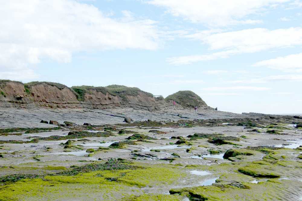 |
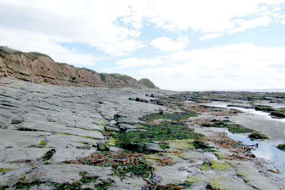 | Follow the smooth limestone rocks across towards the right. Avoid any green rocks or any with seaweed on them: they'll be slippery. Leave the foreshore by cutting through left immediately before the 'knob': you'll see a modest waymarker there to boost confidence. | 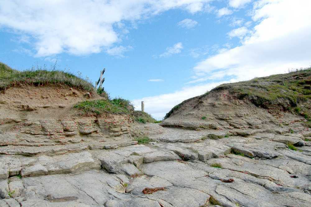 |
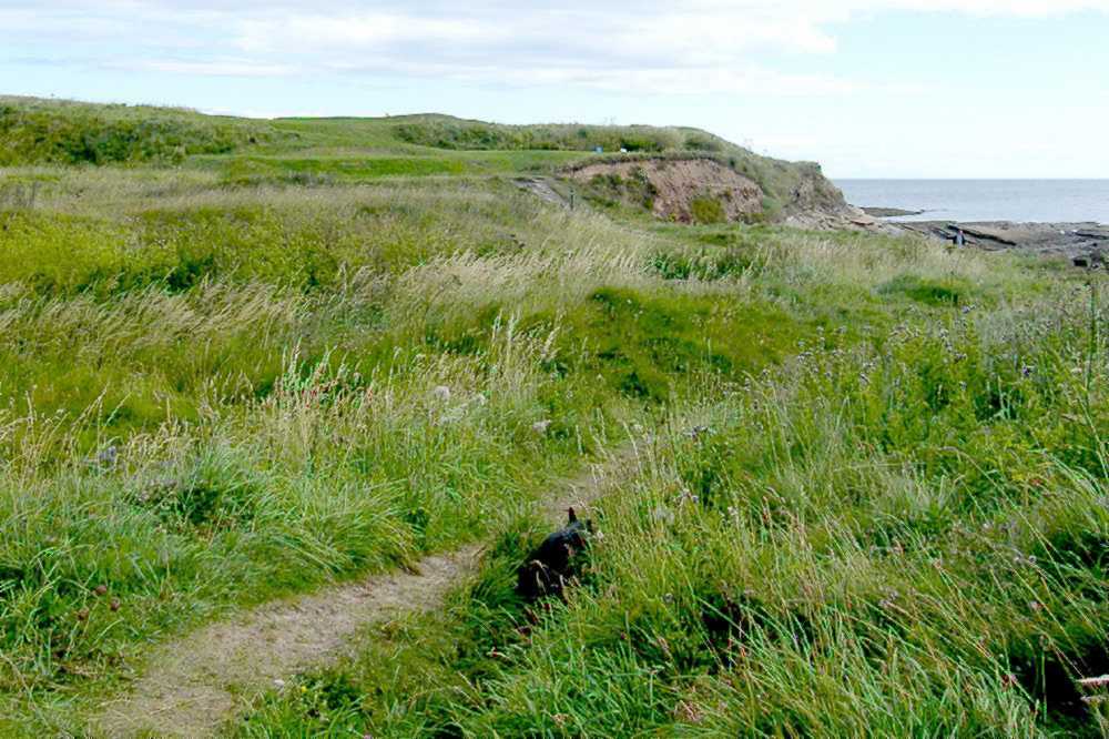 | An unmistakable path sweeps rightward behind the 'knob' of "Snook or North Sunderland Point" according to the OS map. It then turns left to begin the climb up onto Seahouses golf course. The public right of way is marked with small posts, but it is necessary to defer to the host players, especially in crossing the main fairways. | 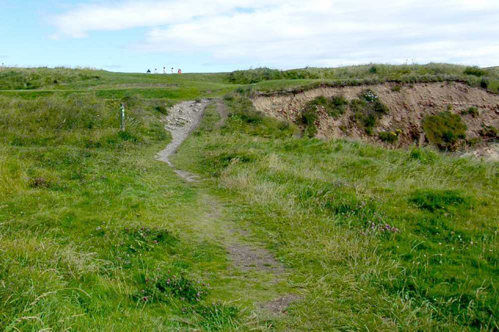 |
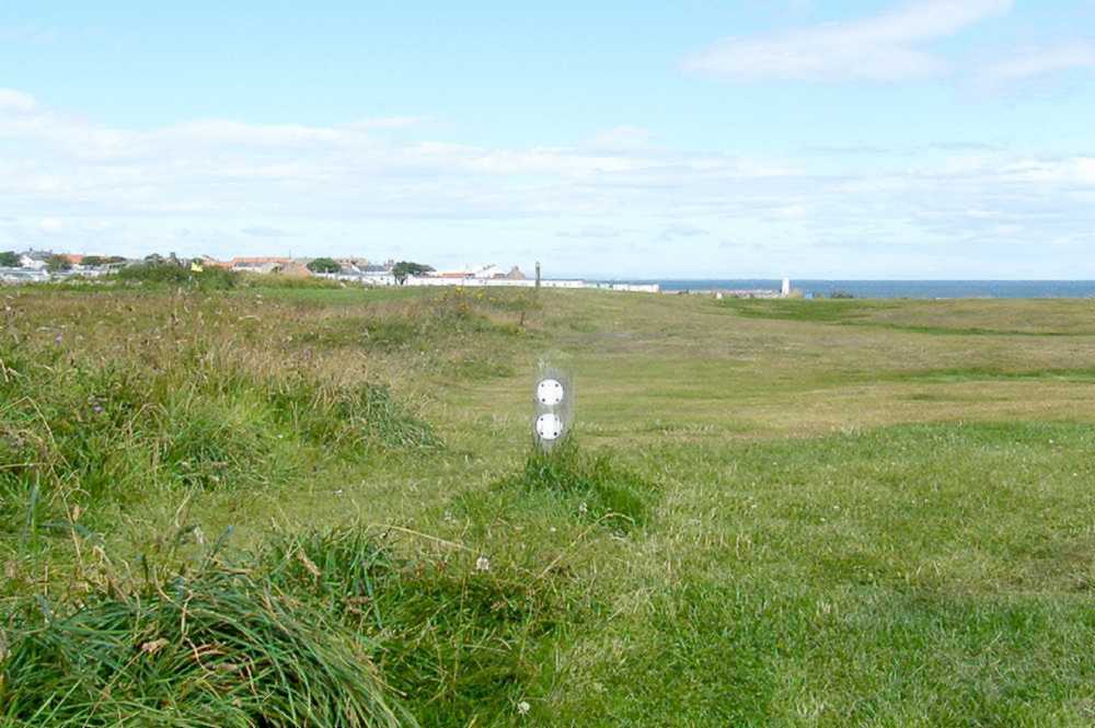 | You'll have reached what is pretty much the highest point on the golf course, with Seahouses village coming into view.
But perhaps you had come from a different starting point - the official Northumberland Coast Path where it completes the roadside path along the B1340 to approach the true coast once again on the outskirts of Seahouses. | 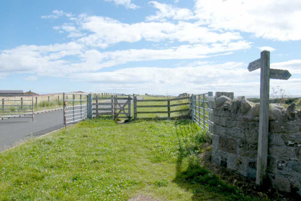 |
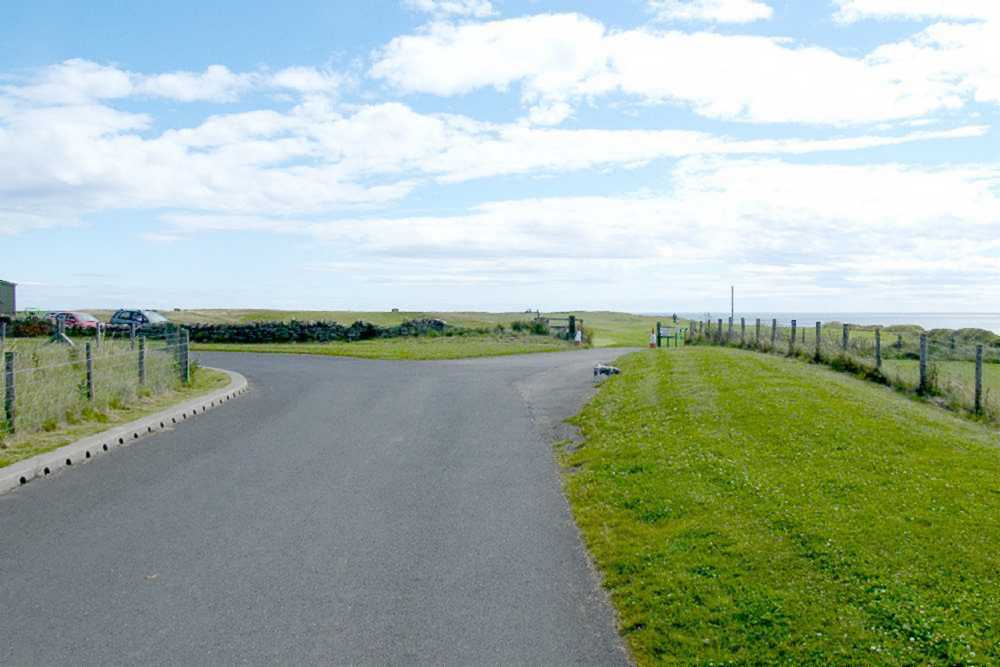 | The private road serves both the water company and the golf course. Although vehicular gates may be locked at weekends pedestrian access is free at all times. Take the right fork in the road. When faced with the open area of the golf course aim to take a perceptible trackway up through the 'rough', towards the point indicated in the picture. | 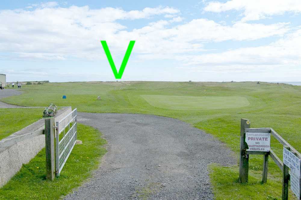 |
 | However you reached the top of the golf course the next move is to leave it via the gate: that's at NU226318 on the OS map. The route was diverted away from the dangerous - sometimes slippery - cliff-top edge in 2012 so it's a brief left-right Z bend on going through the gate. Then the new Chris Craven Path is followed towards the village, now visible in the distance. | 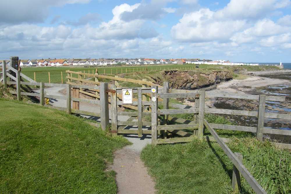 |
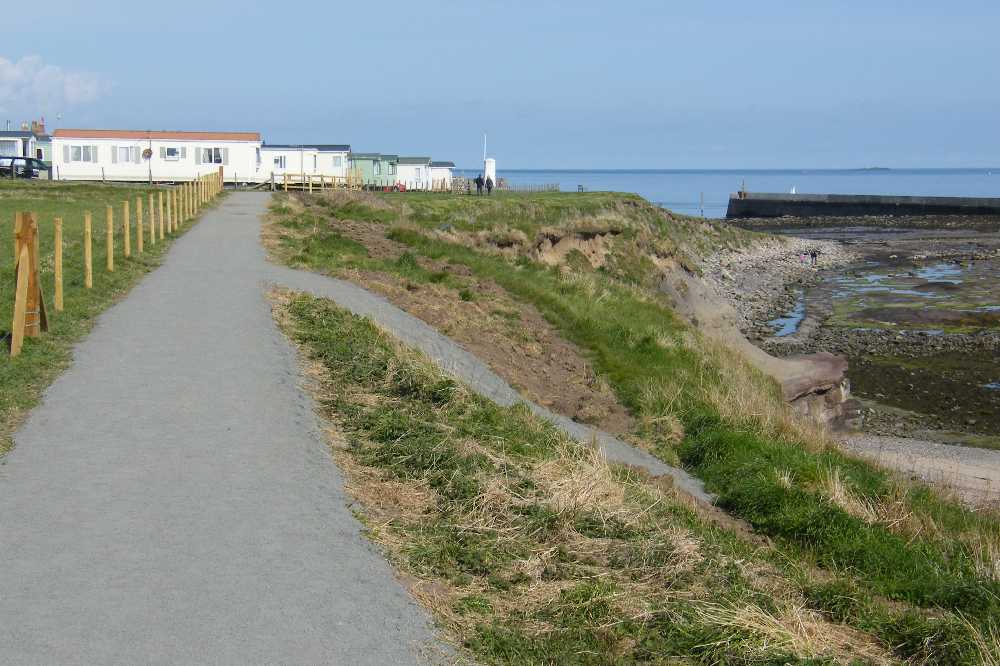 | The path follows the fence line on the left, but at one point there is a branch off to the right, leading down to the shoreline rock formations. It's the area known as 'Braidcarr' with its mini-sand-beach, micro-marram-dune, and abundance of explorable rock pools: see our Seahouses Rocks page when you have time. Meanwhile, make for the corner of the mobile home park, and then a right-left Z bend takes you onto the mown grass area. | 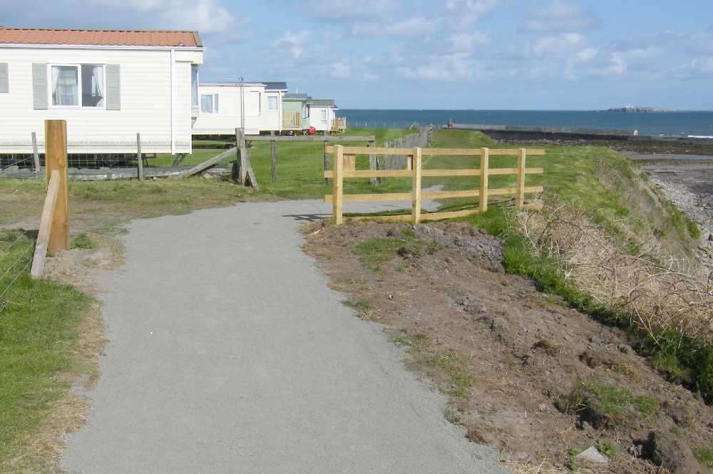 |
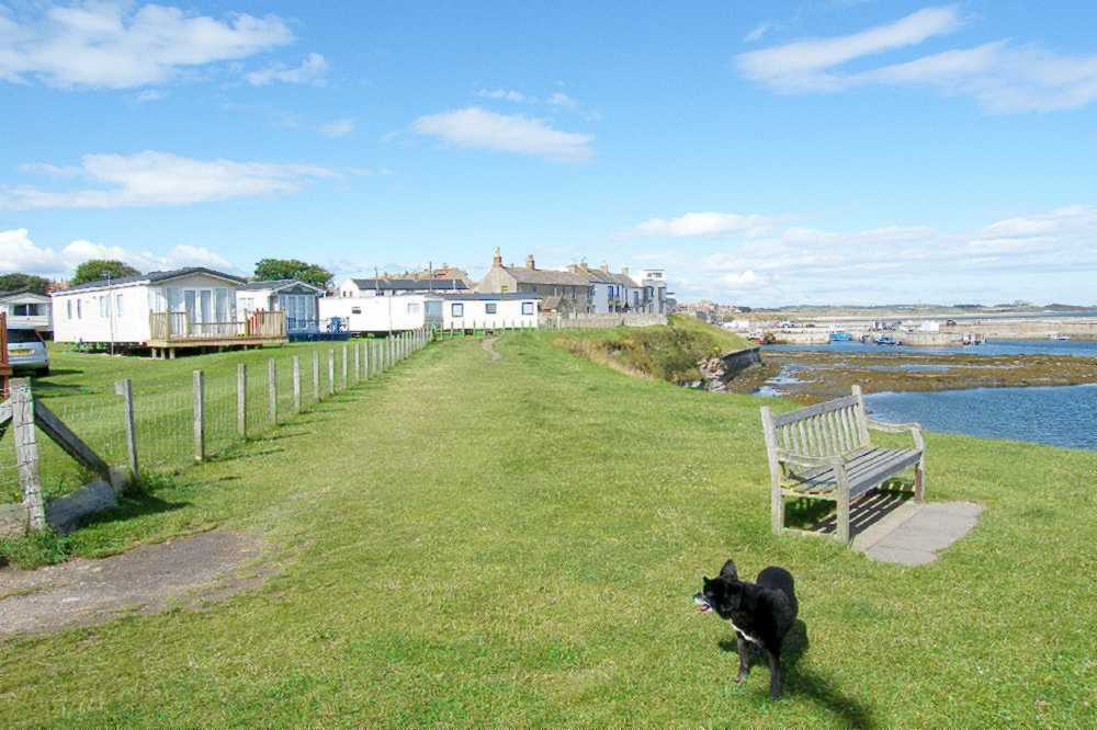 | The proprietor of the mobile home park kindly maintains the grassy promenade that leads the visitor round to a first view of the boats and harbour that contribute so much to the lifeblood of Seahouses village. The route funnels down to a brief passageway between two walls: a right-angled right turn, as signposted, leads to the edge of the village community itself. | 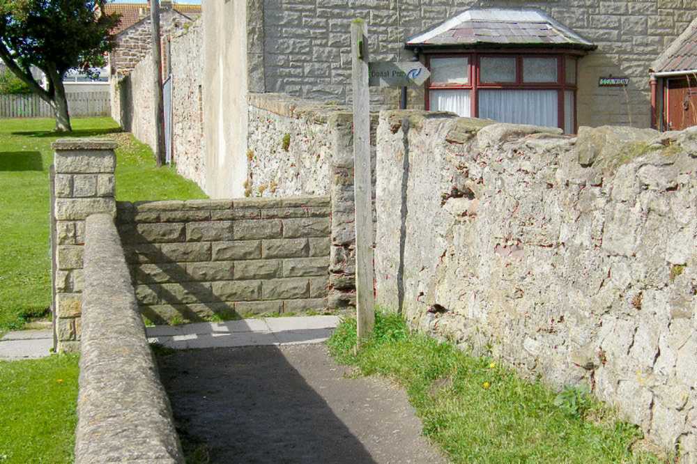 |
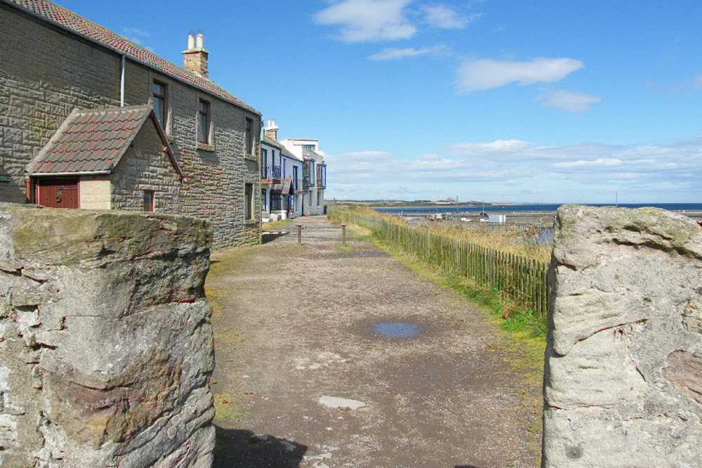 | The first few yards are of gravel, alongside a fence which then becomes a wall, overlooking the outer harbour with boats moored throughout the kinder months. Following that wall round to the left, civilisation is finally reached in the form of Crewe Street and a view of the village's 'skyscrapers'. | 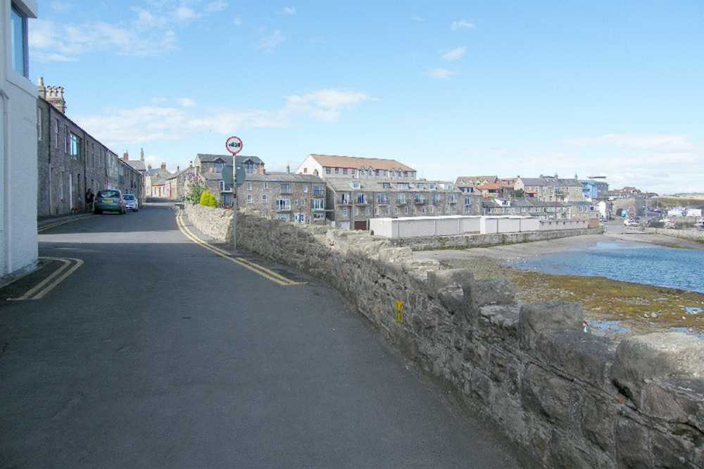 |
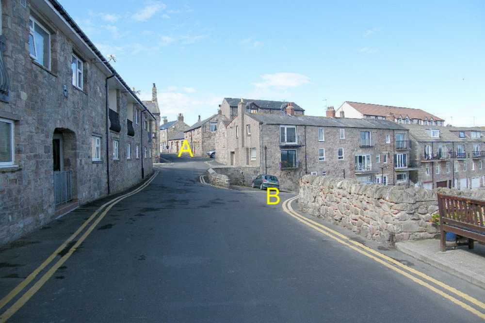 | Along there at A there are two pubs, perhaps welcome by this stage, on the left, while the entry to the right gives a short cut to Main Street's shops and cafés.
But B is needed to complete the route down past the fishermen's storage sheds towards the more active area of the working harbour. | 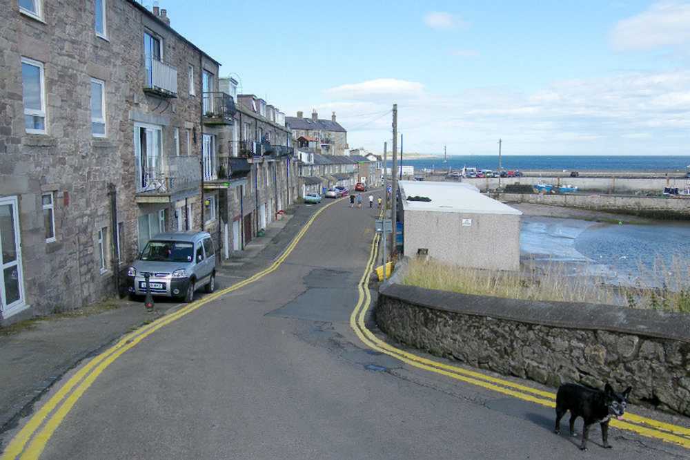 |
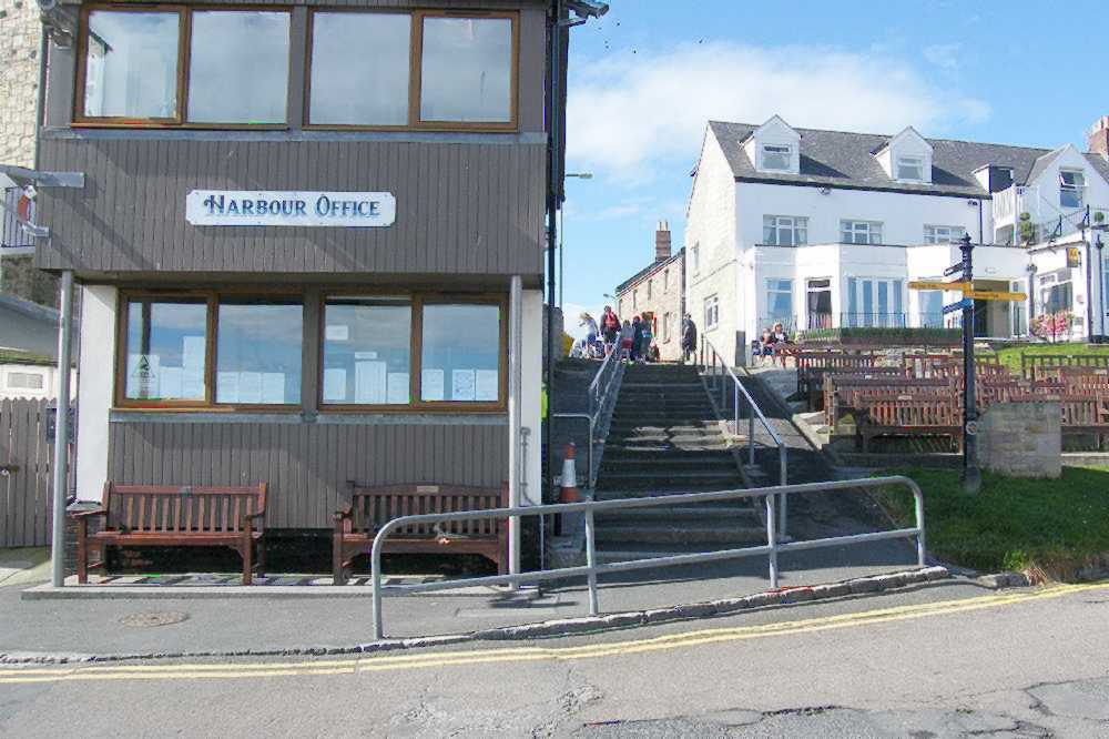 | At the harbour waterside a left turn just past the Harbour Office takes the visitor up steps or a slope to the very end of Main Street with all its familiar facilities. But a continuation along to the end of the harbourside road reveals the booking offices for all the Farne Island tours, diving facilities and angling outings. | 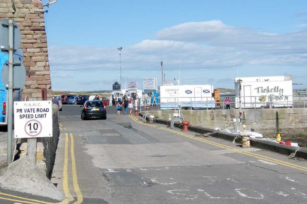 |
 | WALKING NORTH FROM SEAHOUSES
towards Bamburgh perhaps.
There are two options in walking north from the sea-end roundabout in Seahouses. To join the official Northumberland Coast Path follow the finger-post sign into the main car park: it will follow the old railway line initially, en route to Belford as described on their website. But to walk the clifftops and sands route towards Bamburgh the choice must be to start along the road. | 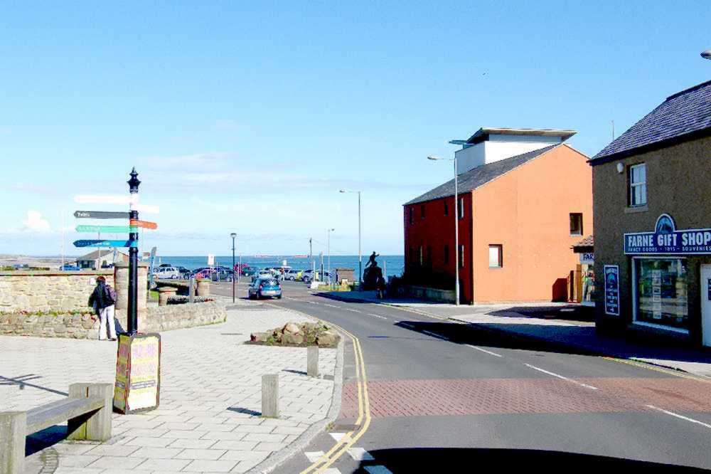 |
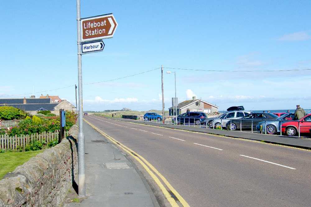 | After only a hundred yards or so, passing the lifeboat house car park, the sea-side of the road loses all development and becomes a grass area: it is kept clear as an emergency helicopter landing site. Rather than cross the grass it is better to continue for a few more yards, to meet the start of the constructed path. | 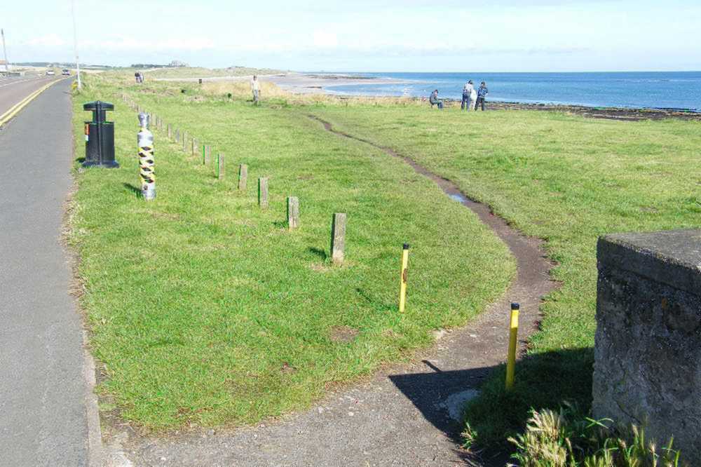 |
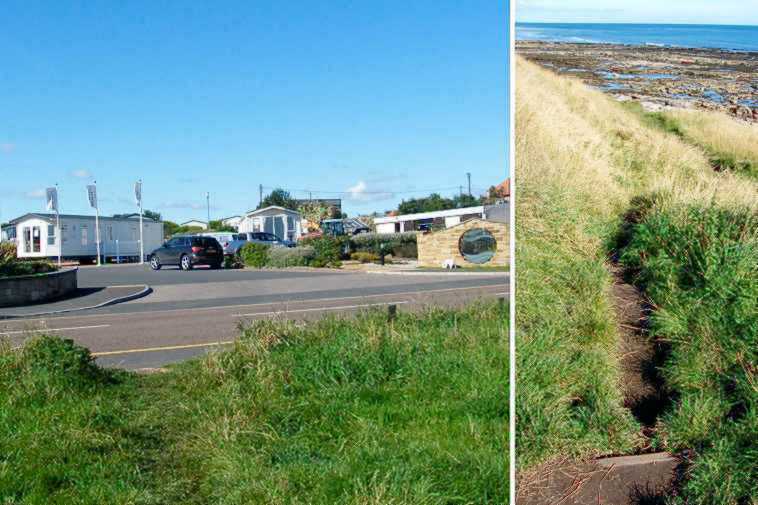 | A few yards beyond the mown area, opposite the Seafield entrance, there is a minor path down to the seashore rocks: perhaps ideal for rock-pool explorations some other time, it is not recommended as a walking route. Instead, continue until reaching the National Trust's "St.Aidans" sign and the the start of the path. | 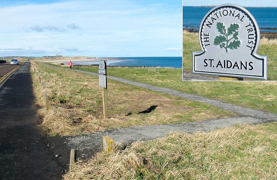 |
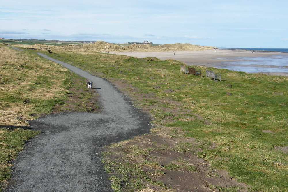 | The path extends for something like half a mile from the village centre before the grass-above-rocks changes to sand dunes on the left above the huge sandy beach on the right. After a very minor Z-bend the path comes naturally to a convenient stepped slope down onto the sands themselves. | 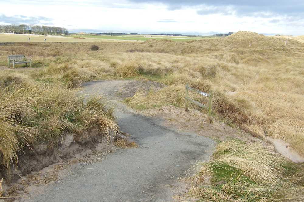 |
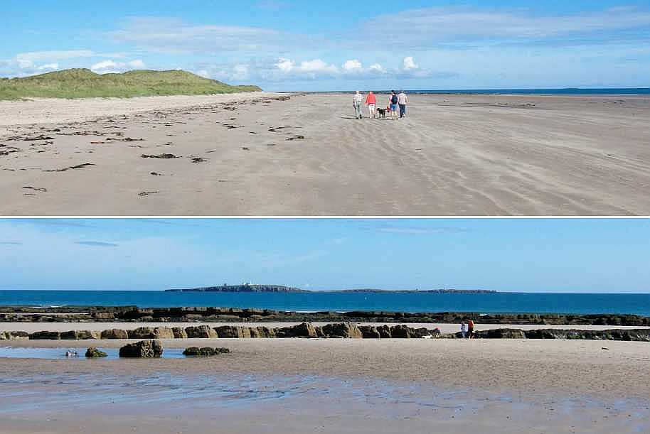 | Then it's just an easy, level walk on firm sand (firm where it's wet anyway), admiring the dunes perhaps. Passing the down-shore "Shoreston Rocks" affords good views of the Inner Farne with its white lighthouse. Shortly afterwards there is a gap in the range of dunes, occupied by the Monks House with gardens adjoining the beach itself. | 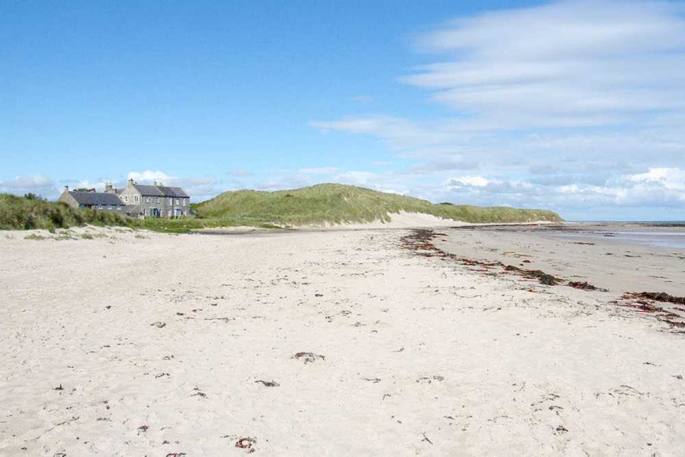 |
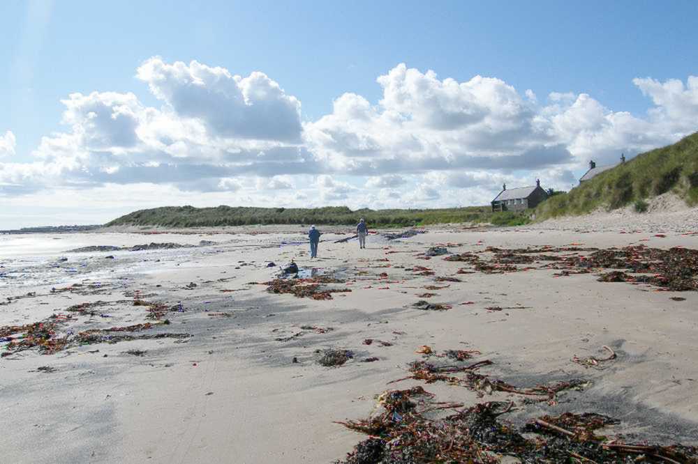
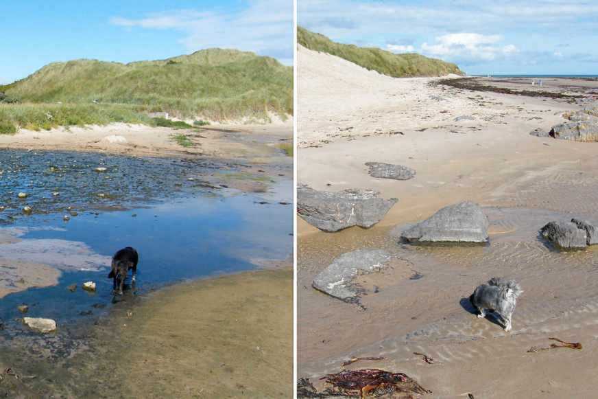 | The very minor Clashope Burn emerges onto the sands from the side of the Monks House. But it is so shallow and/or so narrow that it presents no impediment to onward progress. Indeed, the walk then continues without any interruptions of the breathtaking sandy beach up to and beyond Bamburgh. | 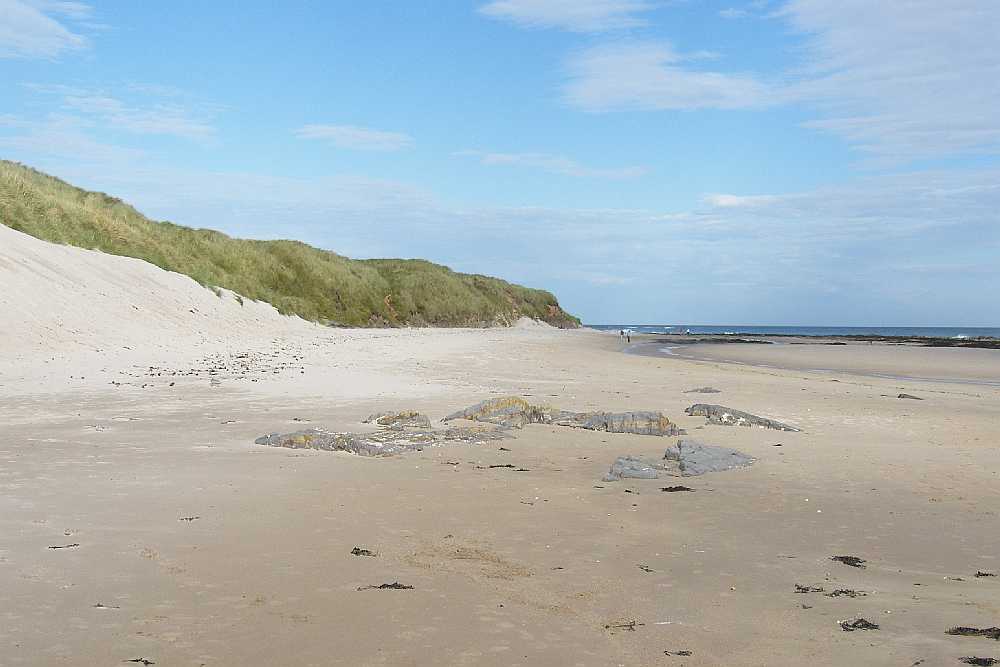 |
 | WALKING TO SEAHOUSES FROM THE NORTH
Bamburgh perhaps.
The first indication of the approach to Seahouses when walking the sands, southward from Bamburgh, is the appearance of the Monks House set in a gap in the impressive dunes. The very minor Clashope Burn emerges there too, but is shallow or narrow enough to make for easy negotiation. | 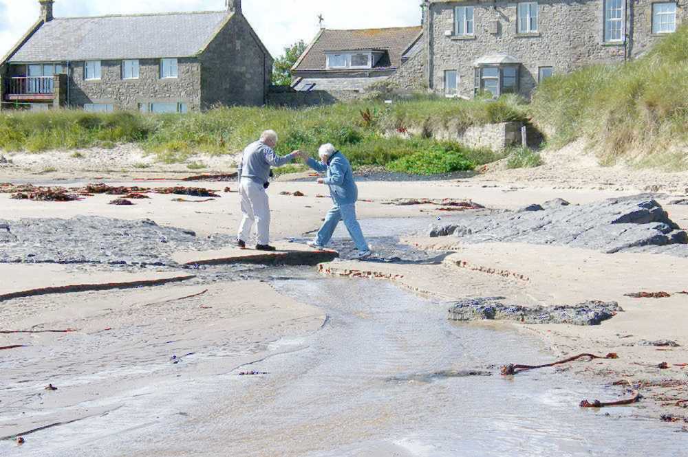 |
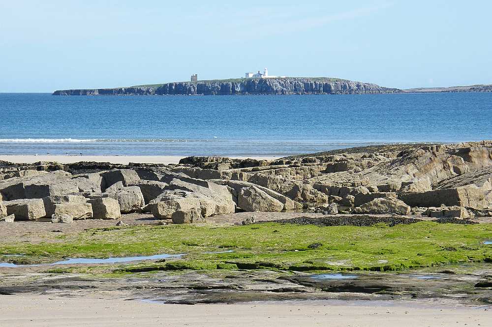 | The straightforward sandy walk then continues, past the Shoreston Rocks (visible at low water) with views out to the Farne Islands, Inner Farne and its lighthouse in particular. Seahouses village is then visible in the distance. | 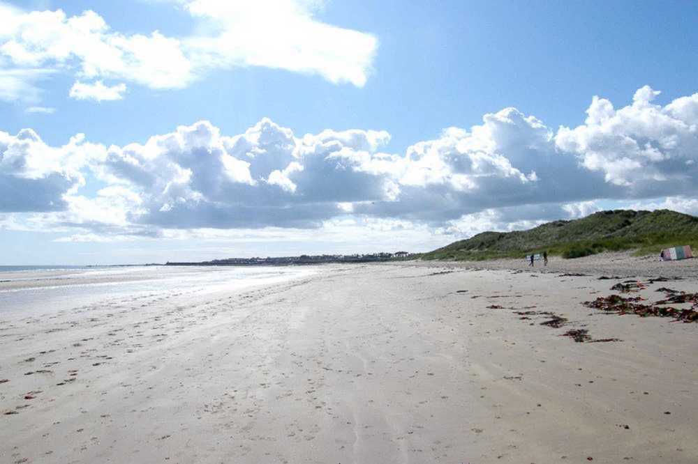 |
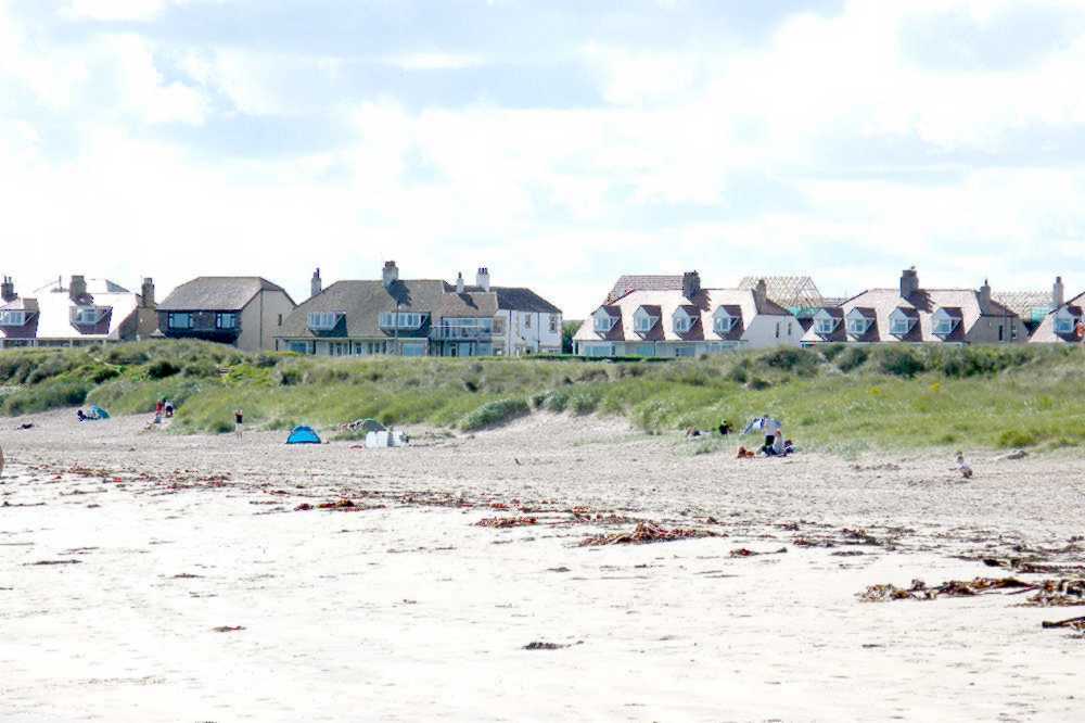 | As the northern outskirts of the village are reached it is as well to be alert for paths back to civilisation. There are several places where minor dunes can be crossed to meet the B1340 road, but perhaps the ideal is to watch for the one and only set of steps leading up from the sands to a grassy area above. If you encounter rocks you've gone too far (though it is possible to scramble along, almost to the village itself). | 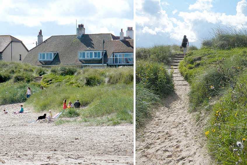 |
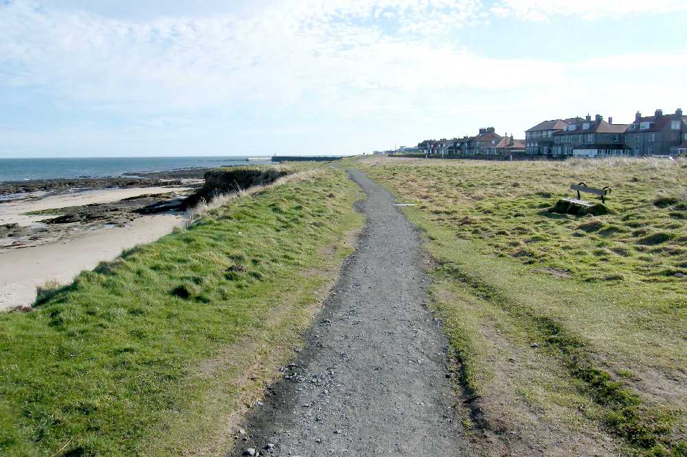 | Thereafter it is a matter of following the path - or utilising the seats - along the National Trust's grass area above the cliffs. There is a clear option to transfer to the roadside path if that should be more convenient. | 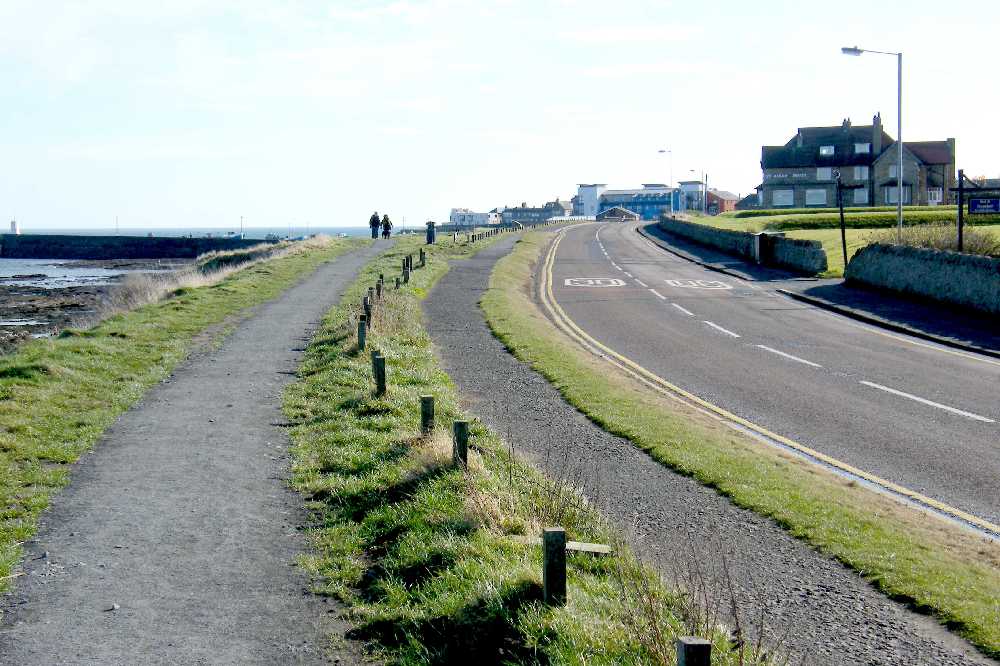 |
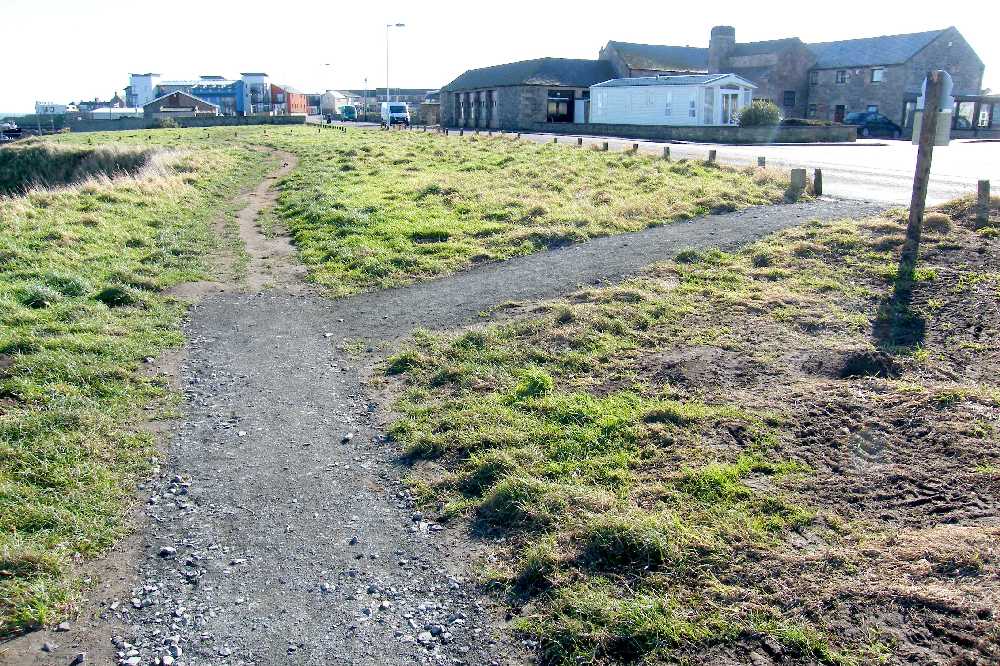 | The final return to the roadside path is opposite the Seafield entrance. Then the edge of the village and the first refreshment facilities are soon reached, with a little over some hundred yards to go to either the end of Main Street or down to the harbour. | 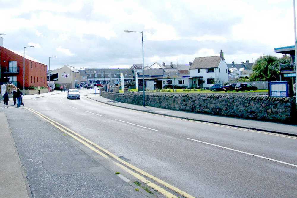 |


